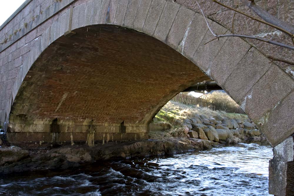
The collapsed bridge in Hatton has reminded me of how important bridges are to communities. History shows that places will often grow round river crossings. That is what happened in Brechin where I was brought up. Brechin has old mediaeval bridge which allowed people to cross the River South Esk, and the Cathedral City of Brechin grew up as a consequence.
I cross the Hatton bridge every morning to get my paper. The Water of Cruden is only a couple of minutes walk from my house. But if that bridge were not there…..?
This set my mind running and I decided to do a little bit of research. I discovered that there are 19 bridges which cross the Water of Cruden as it flows roughly east to west across the 7½ miles or so of the Parish of Cruden.
View Water of Cruden in a larger map
But where does the Water of Cruden actually start? I have traced it to the most westerly corner of the parish, near Dudwick.
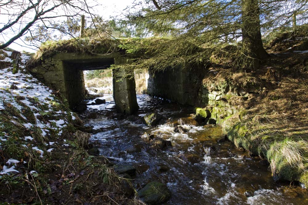
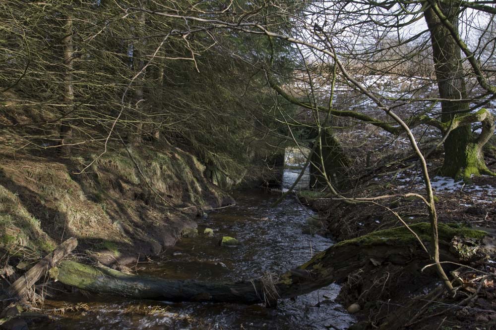
There is a very old bridge there near the track to Mosstown of Dudwick. To the NW of this bridge the Maling Burn flows through the attractive wooded Den of Auldmaling. Very close by is a newer bridge on the road from Upper Hawkshillock to Mains of Dudwick. It looks as if there have been road improvements here and a new bridge built. To the SE the burn flows past Hawkshillock farm and is now marked Water of Cruden on the maps. This area is technically just across the border in the the Parish of Old Deer, but I am taking this as the starting point of my journey.
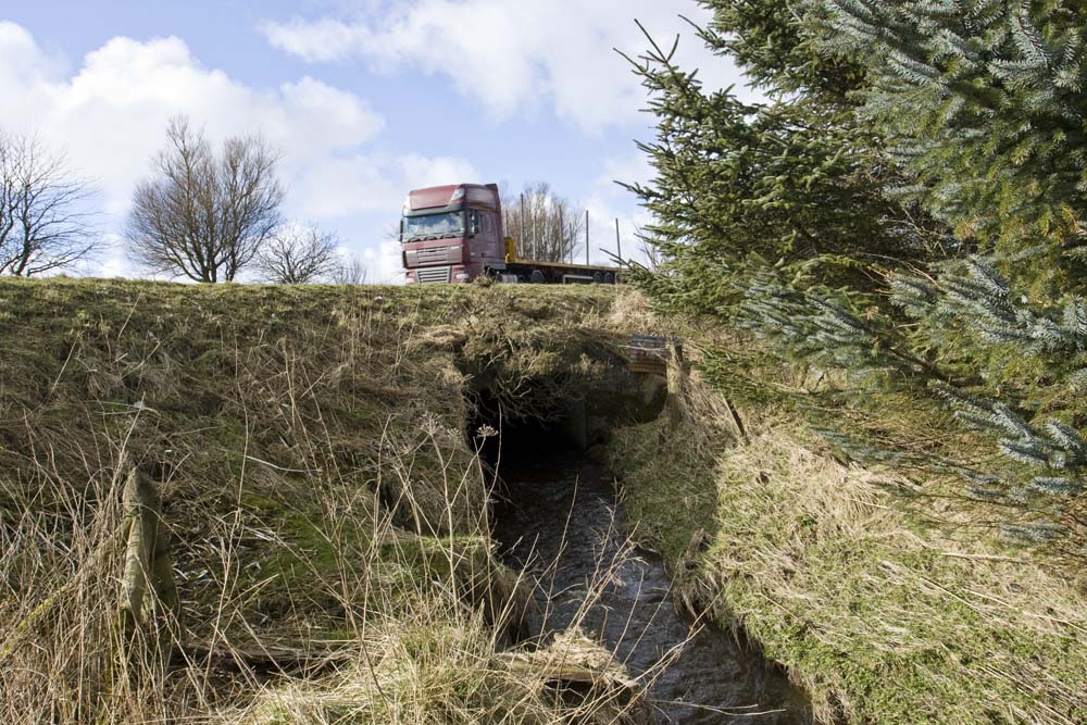
The next port of call is where the main A952 road from Toll of Birness to Mintlaw crosses the burn. There have been road improvements here too, and the old road now serves as a lay-by with the original bridge still in place.
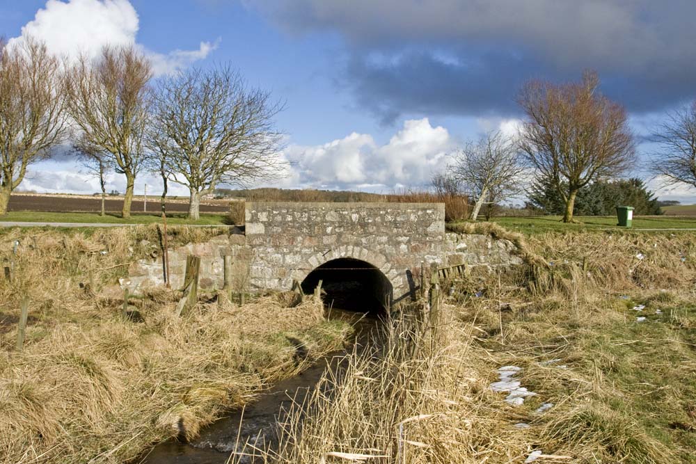
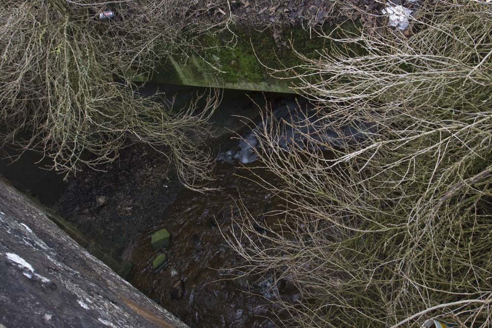
If you look between the lay-by and the new road, you can see the burn flowing into a new and much less attractive bridge, emerging at the other side near Waulkmill Croft.
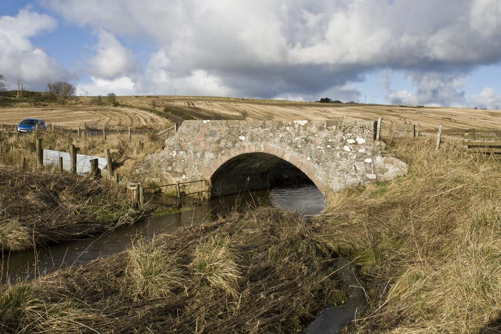
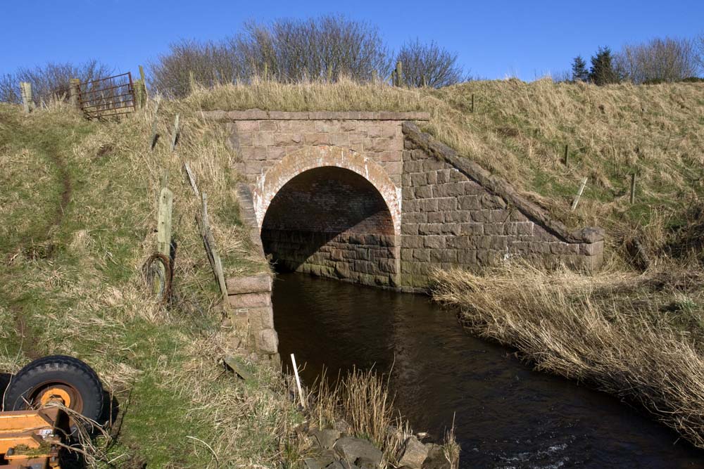
Everytime I drive along the road which leads westwards out of Hatton towards the A952, I marvel that the next little bridge is still standing. Over the past few years I have noticed that there is a major deterioration, with both parapets now in trouble.
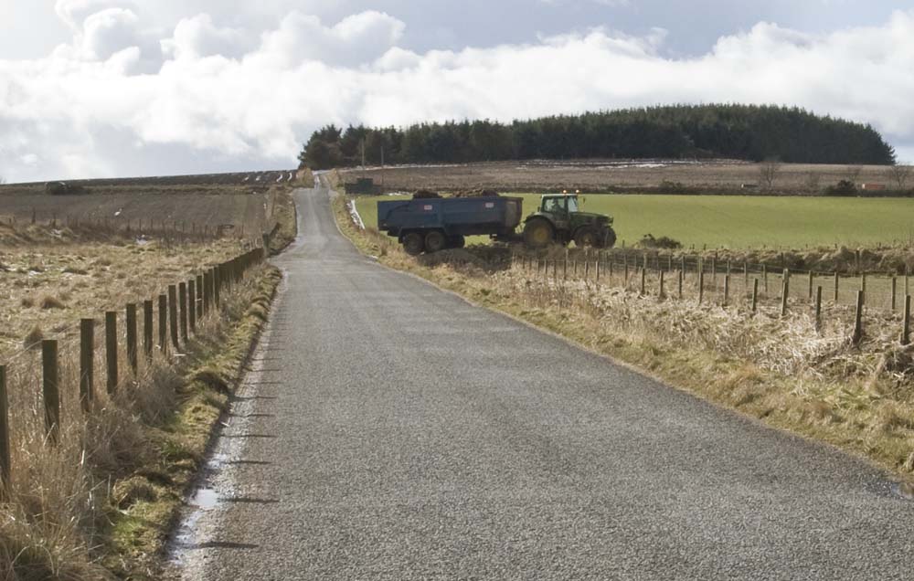
As I walked along to the road to photograph this bridge I just noticed a big tractor and trailer crossing. “Better him than me!” I thought.
Soon the Water of Cruden swings to the south past Mains of Aquharney, but there are no roads and bridges to worry about in this section. But first, the road to Hatton has to be crossed near Mill of Auchleuchries.
Published in the 1880s, The Ordnance Gazetteer of Scotland: A Survey of Scottish Topography, Statistical, Biographical and Historical, edited by Francis H. Groome records that the current of Water of Cruden “has been utilised to drive a wool-mill at Auquharney and several meal-mills lower down.” Rev Alexander Philip, the minister of Cruden wrote in 1840, in the New Statistical Account of Scotland: “The thread manufactories, which were so flourishing in the beginning of my day, and employed so many people, are now completely gone. A carding and spinning-mill was lately erected on the estate of Aquaharney, and carries on business to a considerable extent.”
There are still traces of various mills in place names (Uppermill, Midmill, Nethermill, to mention but three) and there are still traces of mill lades and even mill wheels. My own house (Ladebank) stood beside the mill lade which once provided power for the Hatton Mill. Clearly the Water of Cruden was a major source of power in those days gone by. (Someone has suggested the mills of the Water of Cruden as a topic for a future blog. I would be glad if anyone can provide me with informations about mills etc.)
The next crossing is near Nook on the Bogbrae to Auchquharney road. From here the burn swings roughly west and flows beside the old railway line to Hatton where we find the next bridge which carries Station Road over towards Hatton Mill and Main Street, and allows me to get my morning paper.
If you look at maps you will find interesting names as the burn flows through a little gorge past Uppermill and Midmill farms. There is a “Witches Pot” and a “Fairy Hillock” . A little further on the burn flows beneath Gallow’s Hill near Bridgend Farm where I read that executions once took place. There must be stories here, if only we but knew them.

Now we have a cluster of 3 bridges. There is the old Midmill bridge (1811) which carried the original A90 road towards Peterhead.
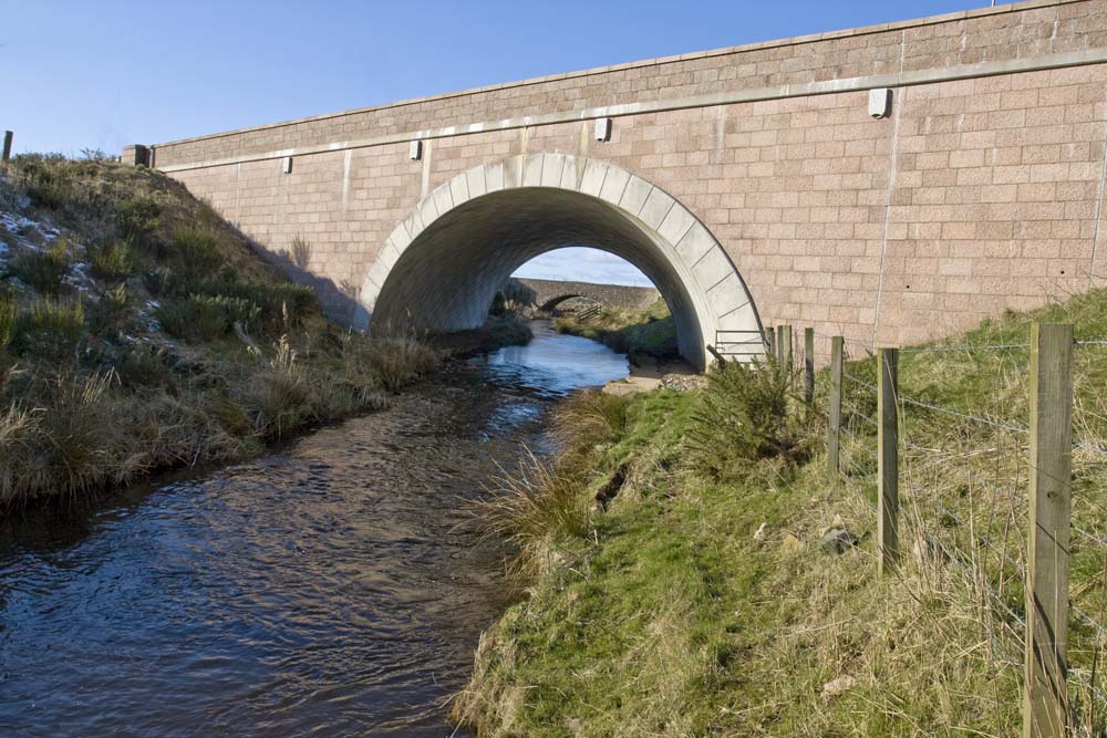
In 2007 the Hatton Bends Impovements resulted in the construction of a magnificent new bridge for the realigned main road. A granite plaque near Bridgend records that the the Improvements were opened by the then Transport Minister, Tavish Scott MSP on 12 February 2007.
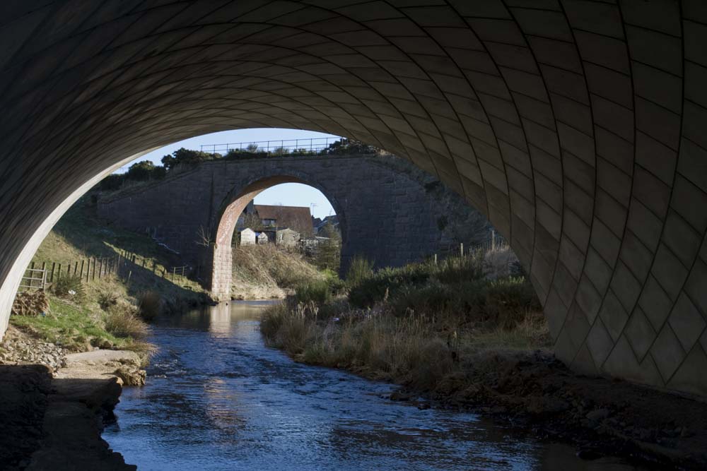
In stark contrast, stands the bridge which carried the Ellon to Boddam Great North of Scotland Railway line across the Water of Cruden. it is a bridge which leads nowhere!
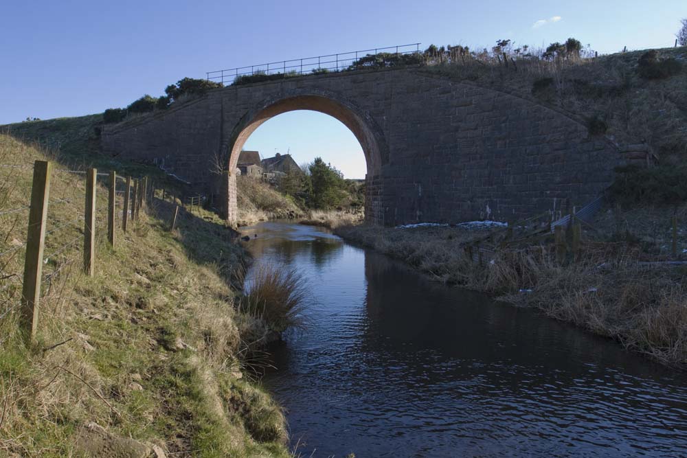
Much of this line between Hatton and Cruden Bay has been ploughed up and the embankment which carried the trains making their way towards the coast has been removed, leaving only this viaduct and its approach from the west.
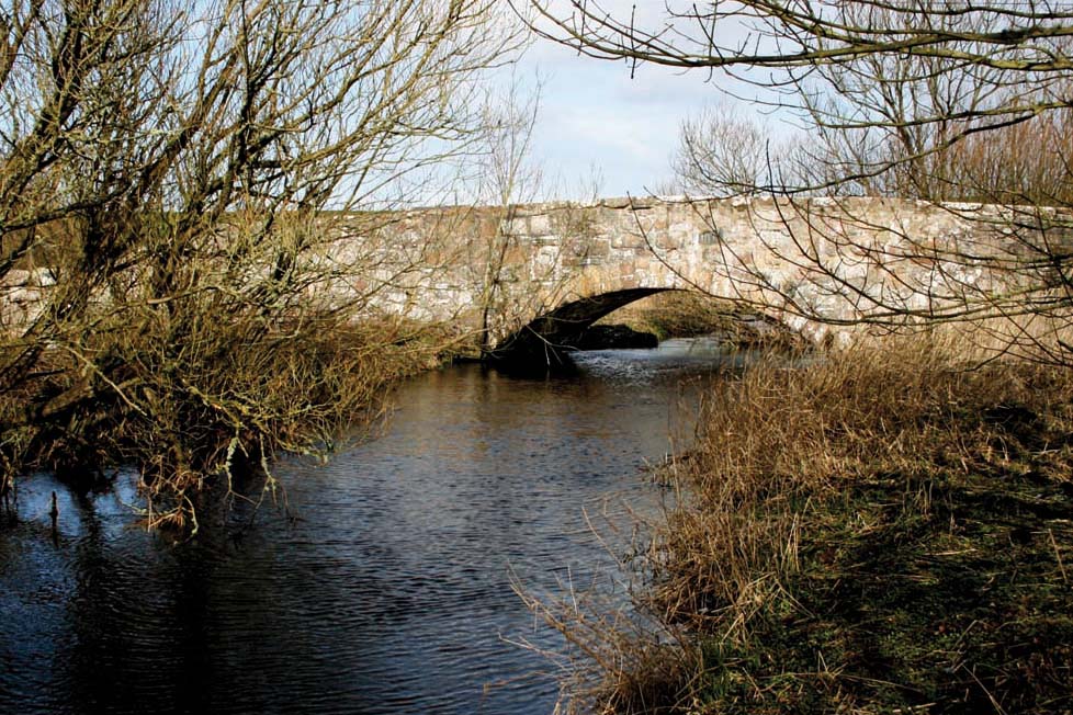
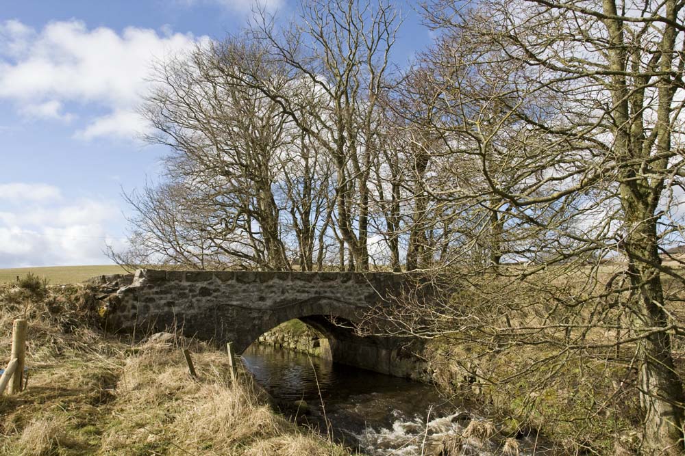
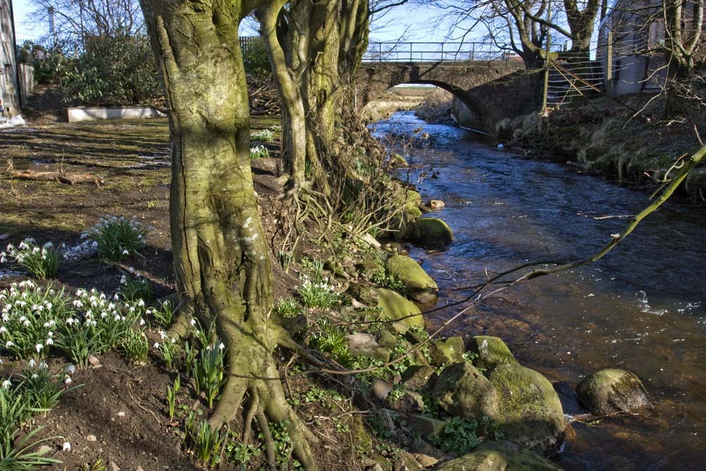
The next crossing is near Cruden Old Church: the narrow Bishop’s Bridge with its awkward twists (at least for modern cars). It was built originally in 1697 by James Drumond, at one time the Bishop of Brechin, to make it easier for people to go to the church. The good Bishop had been caught up in the ecclesiastical turmoil at the end of the 17th Century and had been displaced as Bishop by the Presbyterians who were in the ascendancy in the Church of Scotland. He was living with the Earl of Errol in Slaines Castle at the time. This lovely little bridge bears the arms of the Bishop and the Earl on its south side, now badly weathered and barely visible. It was rebuilt in 1763 by the Earl of Errol.
Although just a couple of miles now from the sea, the Water of Cruden will still flow under quite a number of bridges. The railway line appears again and crosses the burn, only to disappear as quickly on the other side.
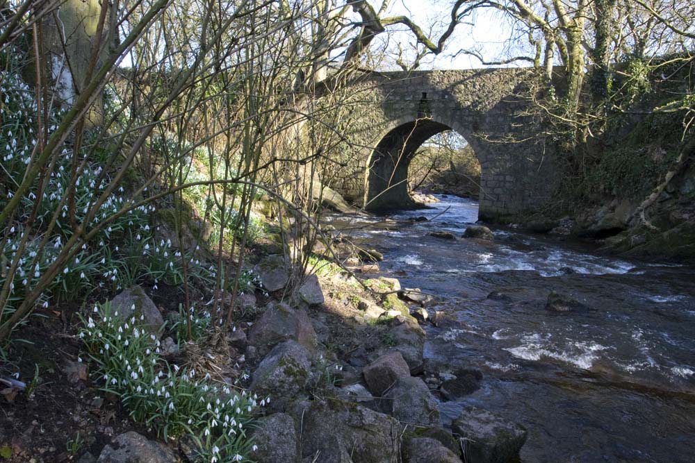
The road from Bridgend to Cruden Bay passes through Nethermill. Here the burn flows through a little gorge, one of the most attractive locations in its journey to the sea.

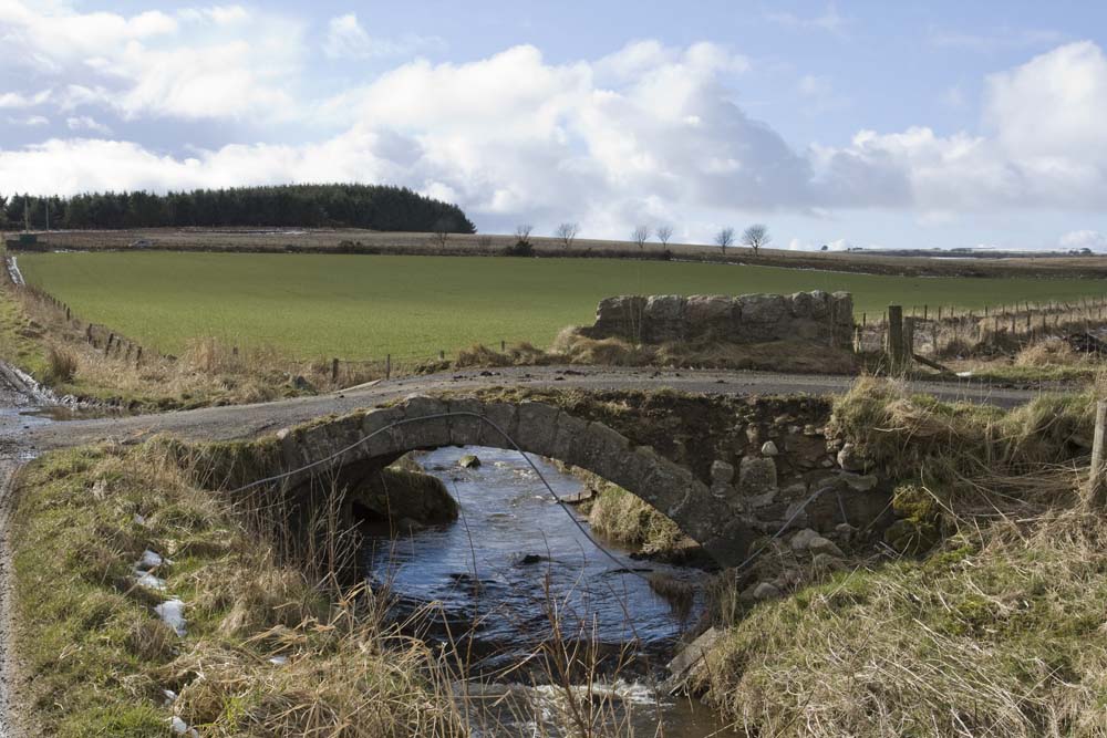
The old Nethermill bridge with its semi-circular arch (built in 1818) crosses the gorge itself. From here you can see the buildings of the mill and other traces of Victorian industry below.
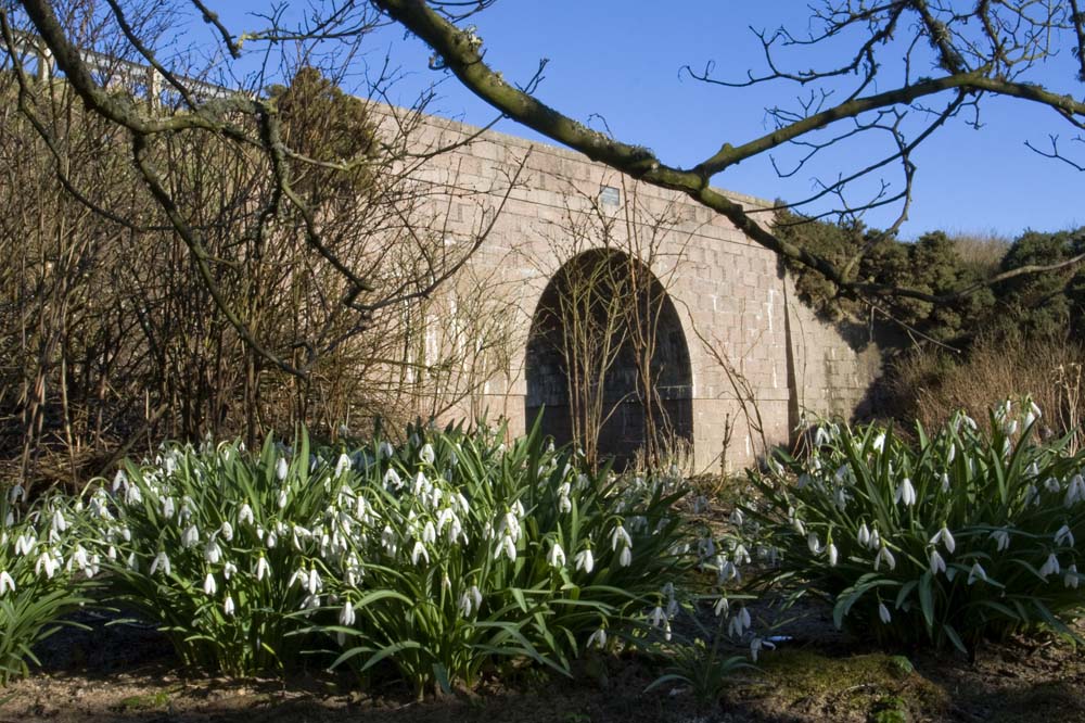
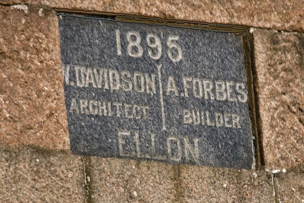
The new Nethermill bridge at the east end of the settlement was opened in 1895, as recorded on a plaque on the outside of the bridge, though few may have noticed it.
Little trace is now left of the railway which was so important for the development of Cruden Bay. The railway brought grandeur, but not lasting prosperity, to Cruden Bay. The branch line from Ellon to Boddam was opened in 1897, along with the golf course and the 55-bedroom Cruden Bay Hotel two years later. The Cruden Bay Hotel Tramway was added, linking the station and the hotel. The Great North of Scotland Railway Company promoted Cruden Bay as a Brighton of the North, only twelve hours from London and an ideal escape for gentry and nouveau riche. However, despite initial enthusiasm, neither railway nor hotel prospered. The railway was closed to passengers in 1932, and in 1939 the hotel was requisitioned as an army hospital, and never re-opened after the war.
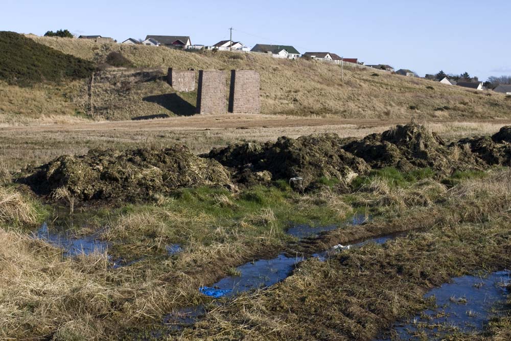
Now all that is visible of the railway station is the old Station Master’s House and the piers of the viaduct which crossed the Water of Cruden as the line headed out towards Bullers of Buchan, Longhaven and Boddam. Even the embankment which would have carried the line over the wide flood plain of the burn has been removed and the cutting beyond the bridge filled in. But there are plenty railways enthusiasts out there on the Internet, and those who are interested can read accounts of the line and see pictures.
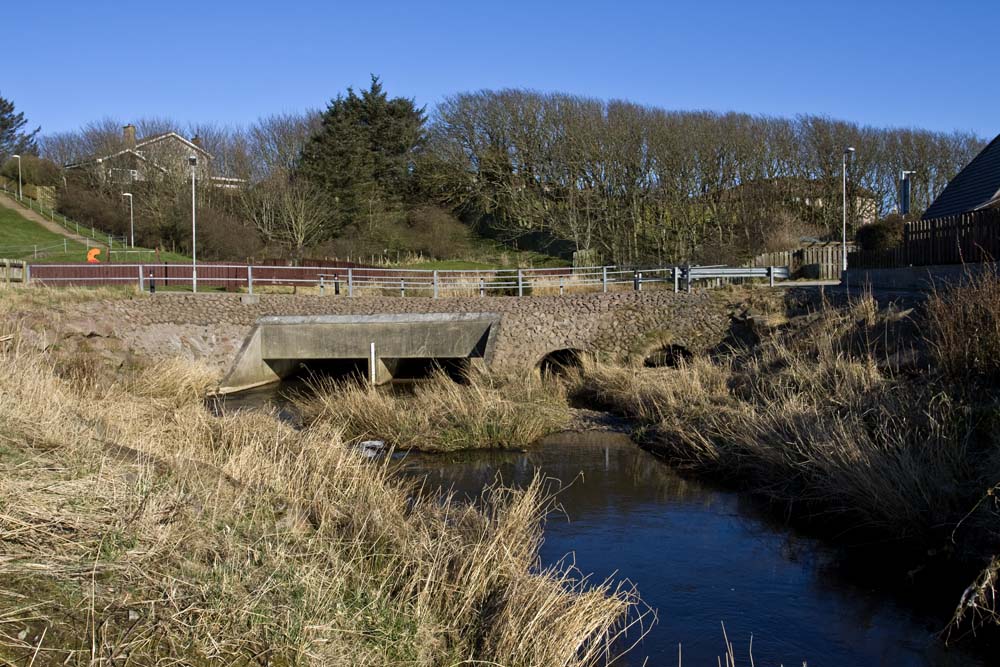
As the Water of Cruden winds its way towards the houses of Cruden Bay we encounter a very new bridge. A low lying span takes Morrison Place over the water, up from Aulton Road.
From there the burn flows past the Kilmarnock Arms Hotel and under an uninspired bridge which carries the main road through the village. The burn then flows between the sand dunes which hide the golf course and the houses of Port Erroll, then under the Ladies’ Bridge. This is perhaps the best known of the bridges over the Water of Cruden. It is named in honour of the ladies who raised funds to construct a footbridge to allow access to the magnificent sands of Cruden Bay. Now the bridge is in need of major repair. It was recently closed for a while after storm damage, but now reopened, providing a vital access to the beach. It is well photographed and even appears on the cover of the local Landranger Ordnance Survey Map (Sheet 30).
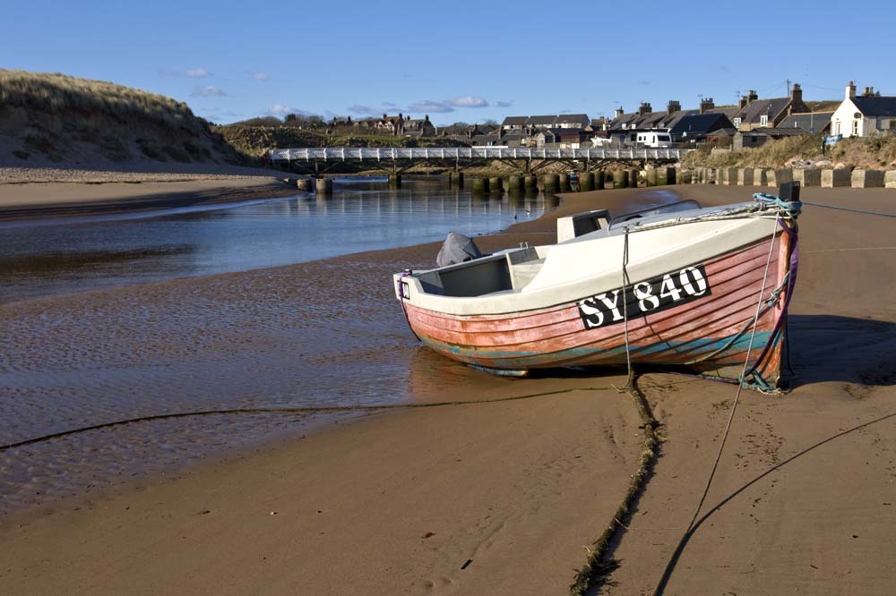
Its journey nearly done, the Water of Cruden flows into the North Sea beside Port Erroll harbour.
19 Bridges in 7½ miles. Not bad going for the litle Water of Cruden!
For those wishing more information:
- A wide range of historical maps of the area on the National Library of Scotland Website
- Modern Ordnance Survey Map marking the bridges
- Map marking the Cruden Parish boundaries
- Read the First and Second Statistical Accounts of Scotland
[No need to register – just click “Browse scanned pages – towards the foot of the page] - Historical perspective, drawn from the Ordnance Gazetteer of Scotland: A Survey of Scottish Topography, Statistical, Biographical and Historical
- Information about the Ellon – Boddam Railway Line