Mary and I lived at different ends of the Ochils hills in our teens. For me at the east end, my view was of Dollar (Bank) Hill and White Wisp. From her bedroom window in Tullibody Mary would look out at the craggy shape of Dumyat at the extreme western end of the Ochil escarpment.
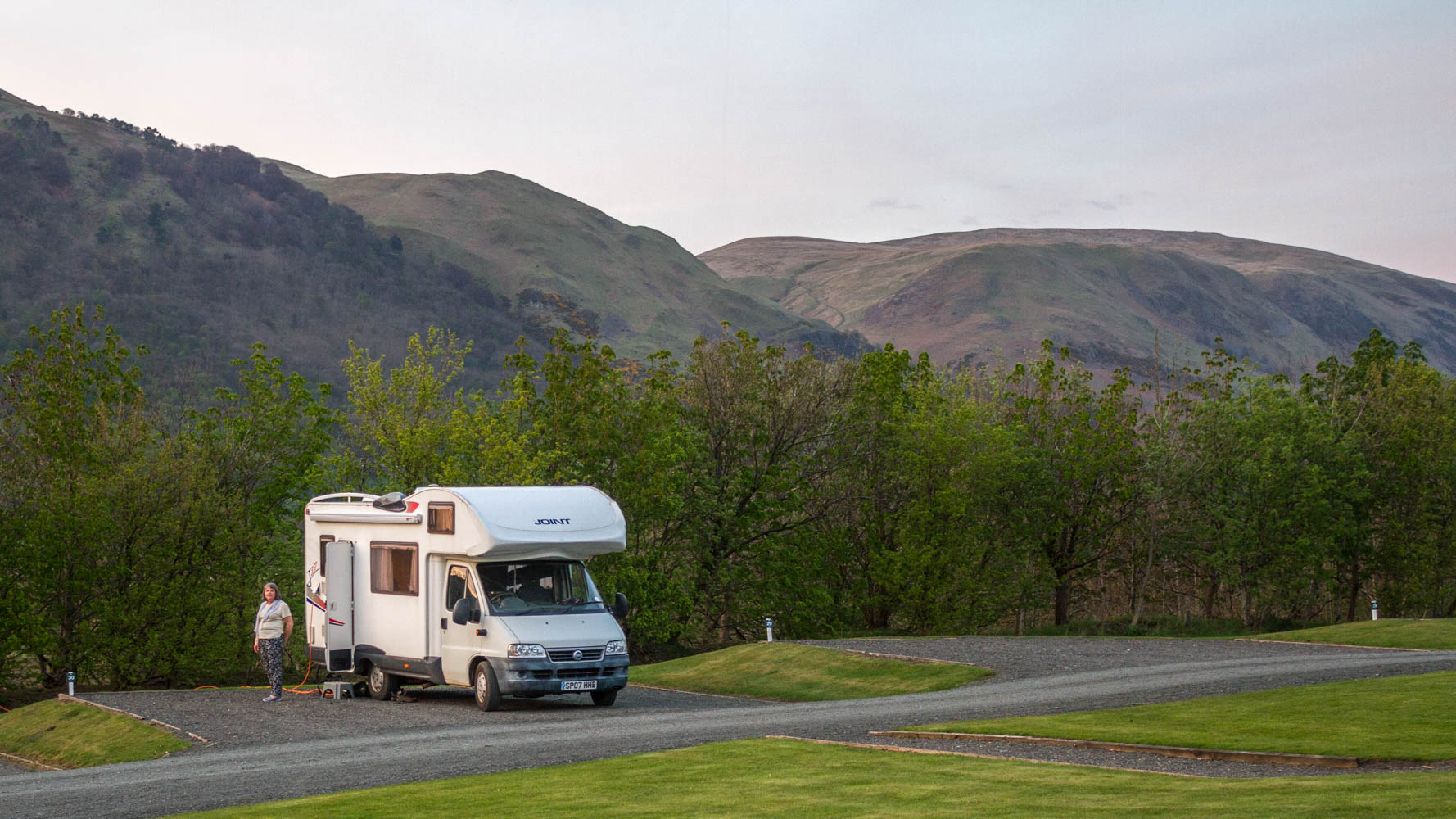
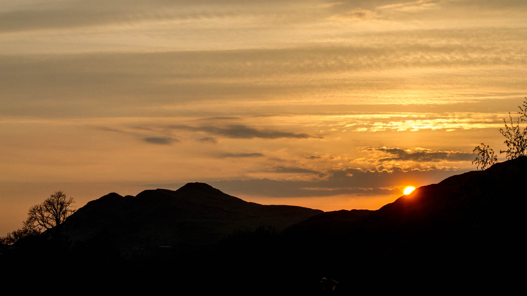
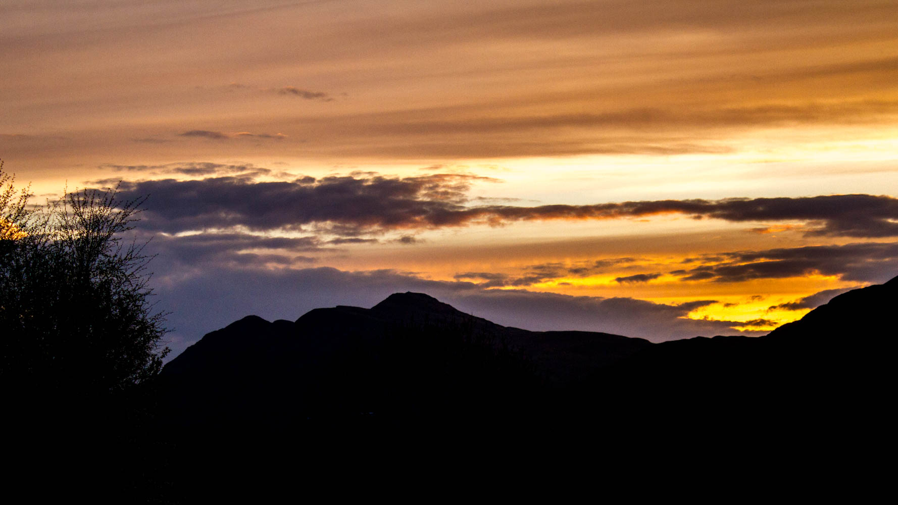
We parked our motorhome at The Woods Caravan Park, near Fishcross in Clackmannanshire. The owner is proud of the 180 degree view of the Ochil hills that visitors to his site can enjoy. And he is right. I was able to walk the dogs late at night and admire Dumyat silhouetted against the setting sun, or look the same way in the early morning light.
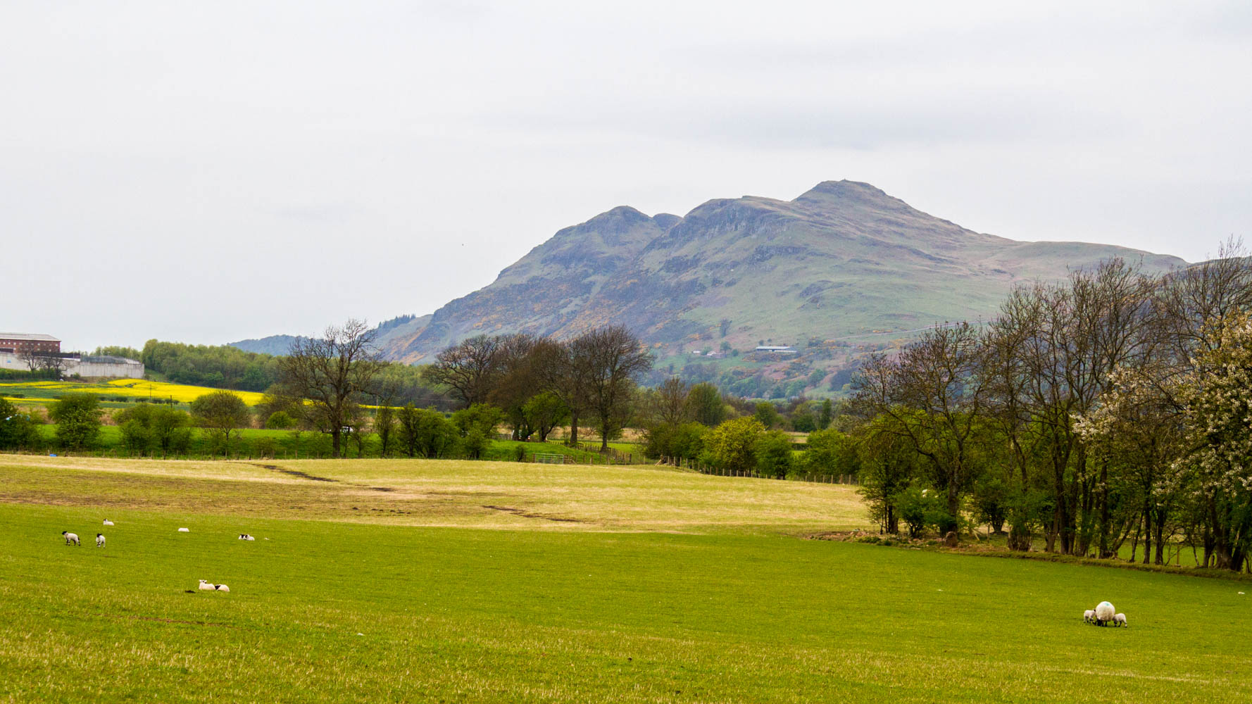
Dumyat is different from the other hills in the Ochils which tend to be more rounded. Dumyat is steep and rocky, with a distractive summit. The name comes from the Gaelic Dùn Mhèad, the Hill fort of the Maeatae, a confederation of tribes living north of the Antonine Wall in the 2-3 Century AD.
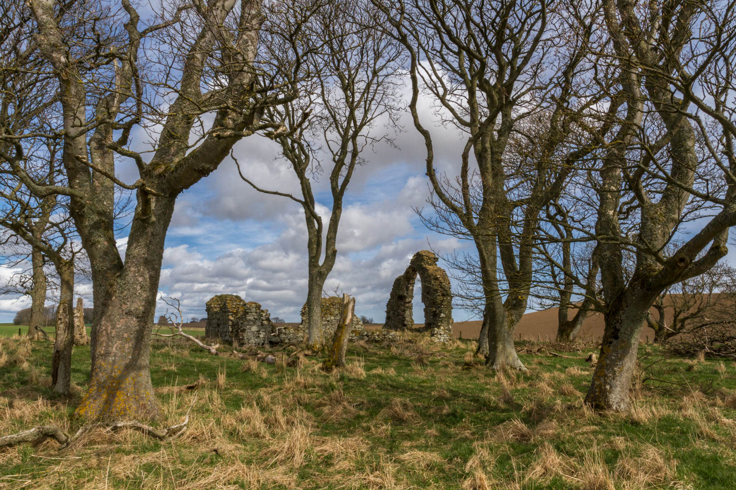
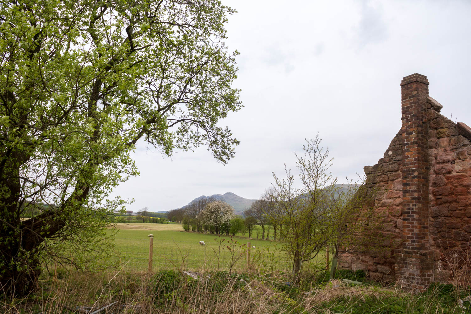
It is strange how things come together sometimes. Today I posted a picture on Facebook of the ruins of St Adamnan’s Chapel at Leask, near were I live. In doing a little research about Dumyat for this post I discovered that the Maeatae (Adamnan called them Miathi) were still around in the 6-7 century. He mentions them as the Southern Picts in his life of St Columba.