Thursday was a beautiful day, a pleasant brake from the March snow and the winds blowing in from Siberia. The sun was shining and white fluffy clouds were scudding in from the sea on the easterly wind. The air was clear – just the sort of day to get the boots on and camera out.
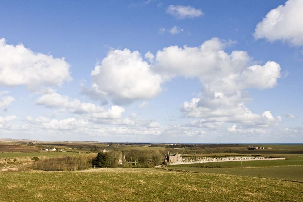
Lily and I went for a walk on Gallows Hill, just to the west of Cruden Old Church up above Ardiffery. I had been intrigued by the names which I had noticed on the maps when I was researching the bridges over the Water of Cruden: Gallows Hill and Hangman’s Brae. From the hill I had a wonderful view down over the church with Cruden Bay, Slains Castle and the sea in the distance. But you needed patience to take the picture. Watching the shadow of clouds making its way over the landscape, you had to wait for the moment when the whole scene was in sunlight.
A quiet peaceful place now, but not always. Near where I was standing the site of Moat (or Moot) Hill is marked on the map. This would have been an artificial mound (now long gone) used as a meeting place for the administration of justice in days gone by. And justice would have been fierce in those days.
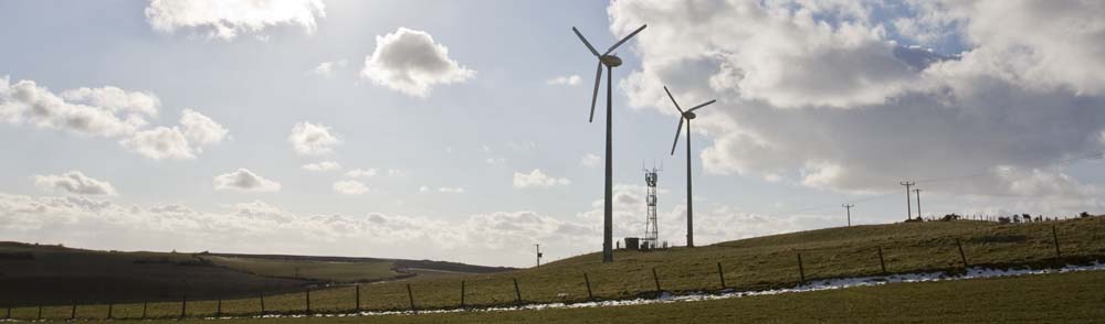
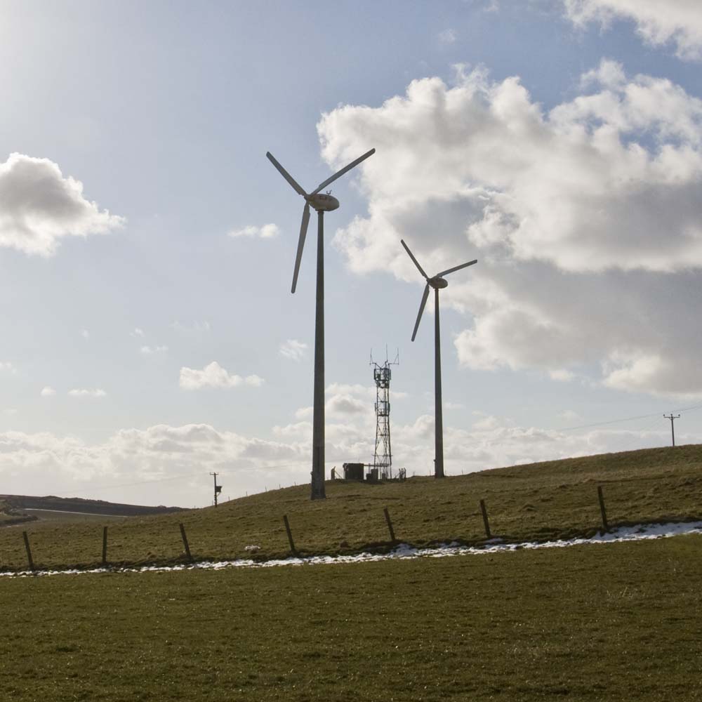
It was enacted at the parliament assembled in Forfar in 1057 by King Malcolm Canmore that every baron should erect a gibbet for the execution of male criminals, and sink a well or pit, for the drowning of females. So nearby the Moot Hill, would stand the gallows on Gallows Hill, and Hangman’s Brae up which the executioner would have made his way. It is recorded that human skeletons have been found near here and there is a deep pool in the Water of Cruden opposite where women would have been drowned, perhaps accused of being witches. Is this the Witch’s Pot marked on the maps beside Uppermill Farm? I wonder if the the two wind turbines which have recently appeared on the hillside mark the place of the Moot Hill and the gibbet?
It gave me a strange feeling, standing there looking down over the steep Aad Braes to the burn below, thinking about how things used to be. (Incidentally it has been suggested that name Aad is derived from the Gaelic aod, a brae. this would make it one of these repetitive place names – Brae Braes.)
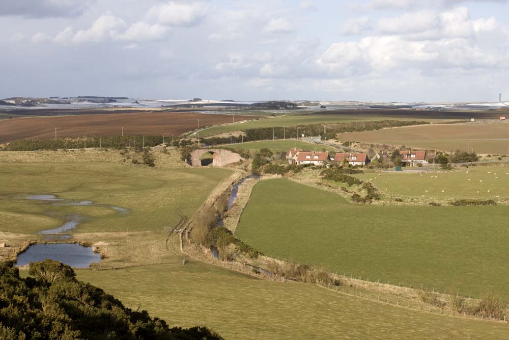
Looking over towards the main A90 road I could see the the railway viaduct crossing the Water of Cruden. I had photographed the other side of it earlier. I have a soft spot for steam engines and I tried to imagine how it must have looked in the early part of last century, with a train making its way from Hatton Station along the embankment and the viaduct, heading towards the sea at Cruden Bay. Perhaps not as spectacular as the Glenfinnan Viaduct, now famous because of the Harry Potter films, but still a site to conjure with. The railway disappears at the other side of the viaduct, the line now ploughed up. But if you look at aerial photographs which are so easy to access on the Internet. you can just about see the line that the track had once followed through the fields.
[This link will take you to the Ordnance Survey Get a Map Site. Then select the “Aerial” option at the top left.]
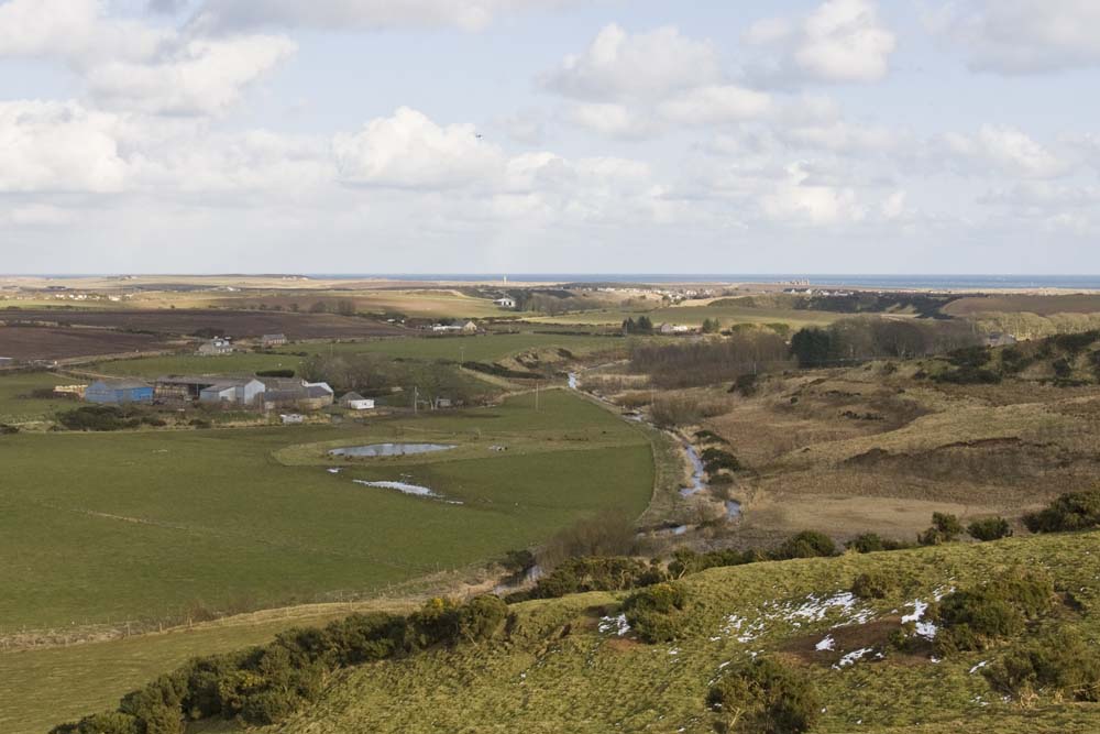
If you cast your eyes in the other direction, down the Aad Braes you can see the Water of Cruden making its way towards the Bishop’s Bridge, past Bridgend Farm. You can just see the towers of Cruden Old Church popping up from the trees on the right hand side of the picture.
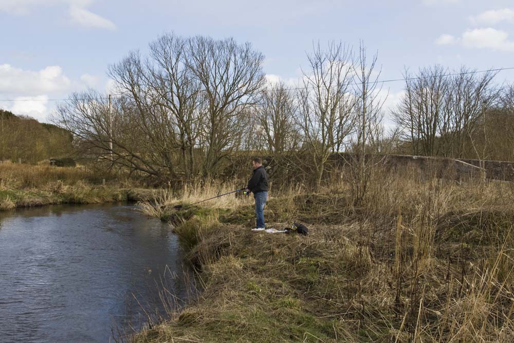
The countryside round here has changed through the years, not to mention the administration of justice. But there is one thing that I am sure has not changed. As I was making my way home from my walk on Gallows Hill, I came across a lone fisherman trying his luck by the Bishops’s Bridge. He told me he was after brown trout, but he was having no luck, too early in the season yet, he said. I wonder how many folk through the years from Cruden Parish have tried their luck in that same burn?